Planning
County advances Napa River marsh restoration and Highway 29 projects
Metropolitan Transportation Commission and ABAG coordinate tidal wetland restoration in Southern Napa County alongside Soscol Junction transit links.
Your listening Queue & catch up
Add a story or build a catch-up queue to start listening.
Regional transportation and land-use commissioners across the nine-county San Francisco Bay Area are moving from long-range planning into project delivery under Plan Bay Area 2050+, with Napa County officials securing key priorities for lower Napa River tidal wetland restoration, wildfire evacuation route capacity, and Highway 29 transit reliability. Reviewed in October 2026 by the Metropolitan Transportation Commission (MTC) and the Association of Bay Area Governments (ABAG)—where Napa County Supervisor Belia Ramos has played a leading governance role—the updated regional blueprint links infrastructure funding to climate adaptation.
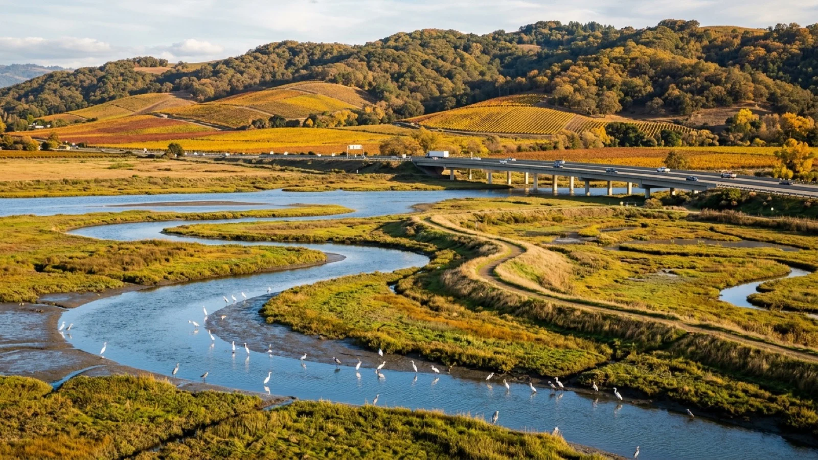
In Southern Napa County between American Canyon, the Napa County Airport industrial area, and Downtown Napa, sea-level rise and extreme king-tide storm surges along San Pablo Bay and the tidal reaches of the Napa River pose growing risks to logistics employers, wastewater facilities, and agricultural lands. Under the Plan Bay Area 2050+ sea-level rise resilience element, regional wetlands authorities and county public works engineers are pairing living levee upgrades with expanded salt-marsh restoration that naturally attenuates wave energy while providing habitat for waterfowl and native fish.
Along the valley's primary north-south spine, the Napa Valley Transportation Authority (NVTA) is leveraging regional capital allocations from the newly completed Soscol Junction interchange at State Routes 29 and 221 to expand zero-emission Vine Transit express bus service from the Soscol Gateway Transit Center in Napa to St. Helena and Calistoga. Parallel investments continue extending the paved 47-mile Napa Valley Vine Trail to offer hospitality workers and visitors a grade-separated bicycle and pedestrian alternative to Highway 29.
Napa County business owners, agricultural employers, and residents can inspect interactive sea-level rise adaptation maps, transit funding allocations, and upcoming NVTA board agendas online at planbayarea.org or at nvta.ca.gov.
Sources
Comments (0)
No comments yet. Be the first to share a thought on this story.